The Early Detection and Distribution Mapping System (EDDMapS) is a Web-based mapping system for documenting invasive species distribution. The majority of invasive species reporting in the United States occurs through or in cooperation with EDDMapS. This article will discuss EDDMapS. However, more than one mapping system exists in the United States; if your area has a mapping system, it is best to submit your data to that local mapping system.
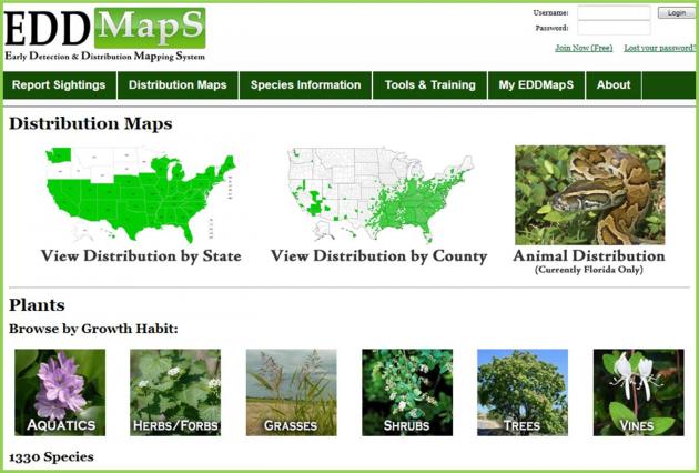 |
| EDDMapS Distribution Maps bugwood.org |
To be useful to the largest number of people, a distribution mapping system should
- be fast and easy to use and require no knowledge of Geographic Information Systems (GIS);
- be available for use by everyone, from professionals to private citizen volunteers;
- offer Web-based mapping of invasive species distribution to help fill gaps and identify “leading edge” ranges;
- facilitate implementation of Early Detection and Rapid Response programs through online data-entry forms, e-mail alerts, and involvement of a network of expert verifiers;
- combine local and national data in one database;
- allow for data to be easily searched, queried, and downloaded in a variety of formats for use in management plans, reports, or GIS projects;
- integrate with and aggregate data from other invasive species mapping projects;
- offer custom/hosted applications that can be developed quickly and inexpensively; and
- be able to update records to show treatment outcomes and changes in infestations over time.
EDDMapS meets these criteria. Launched in 2005 by the Center for Invasive Species and Ecosystem Health at the University of Georgia, the system was designed as a tool for state exotic pest plant councils to use to develop more complete data of distribution of invasive species.
The goal is that use of EDDMapS will maximize the effectiveness and accessibility of the immense number of invasive species observations recorded each year. As of September 2011, EDDMapS has more than 1.4 million records.
EDDMapS combines data from other databases and organizations as well as volunteer observations to create a national network of invasive species distribution data that are shared with educators, land managers, conservation biologists, and others. These data provide a foundation for a better understanding of invasive species distribution around the world.
Why Do We Care?
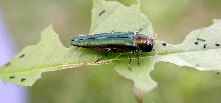
The biological pollution caused by invasive species is extremely challenging because even if we never import another nonnative species, the ones already invading our native ecosystems will continue to grow and spread. We must actively seek solutions to control or eradicate the species that are problems already and even more importantly, identify and address the new infestations of nonnative species that have the potential to become problems. By identifying infestations in their early stages, we have a chance to eradicate them completely. Finding and controlling invasive species early can result in huge savings in time and money when compared to the amounts spent in management of species that already cover large portions of our landscapes.
How Does EDDMapS Work?
EDDMapS participants use a simple, interactive Web interface to submit their observations or view results through interactive queries of the EDDMapS database. EDDMapS provides Internet tools that participants can use to maintain their personal records and to visualize data with interactive maps.
Participants complete the online data-entry form by entering specific information about their observations of an infestation and uploading images. Information participants provide on the online form immediately loads to the Web site, allowing for real-time tracking of species. Being able to see the current data for a species as the species moves into a new area helps people involved in Early Detection and Rapid Response programs.
Citations